 راهنمای گردشگری راهنمای گردشگری و سفر
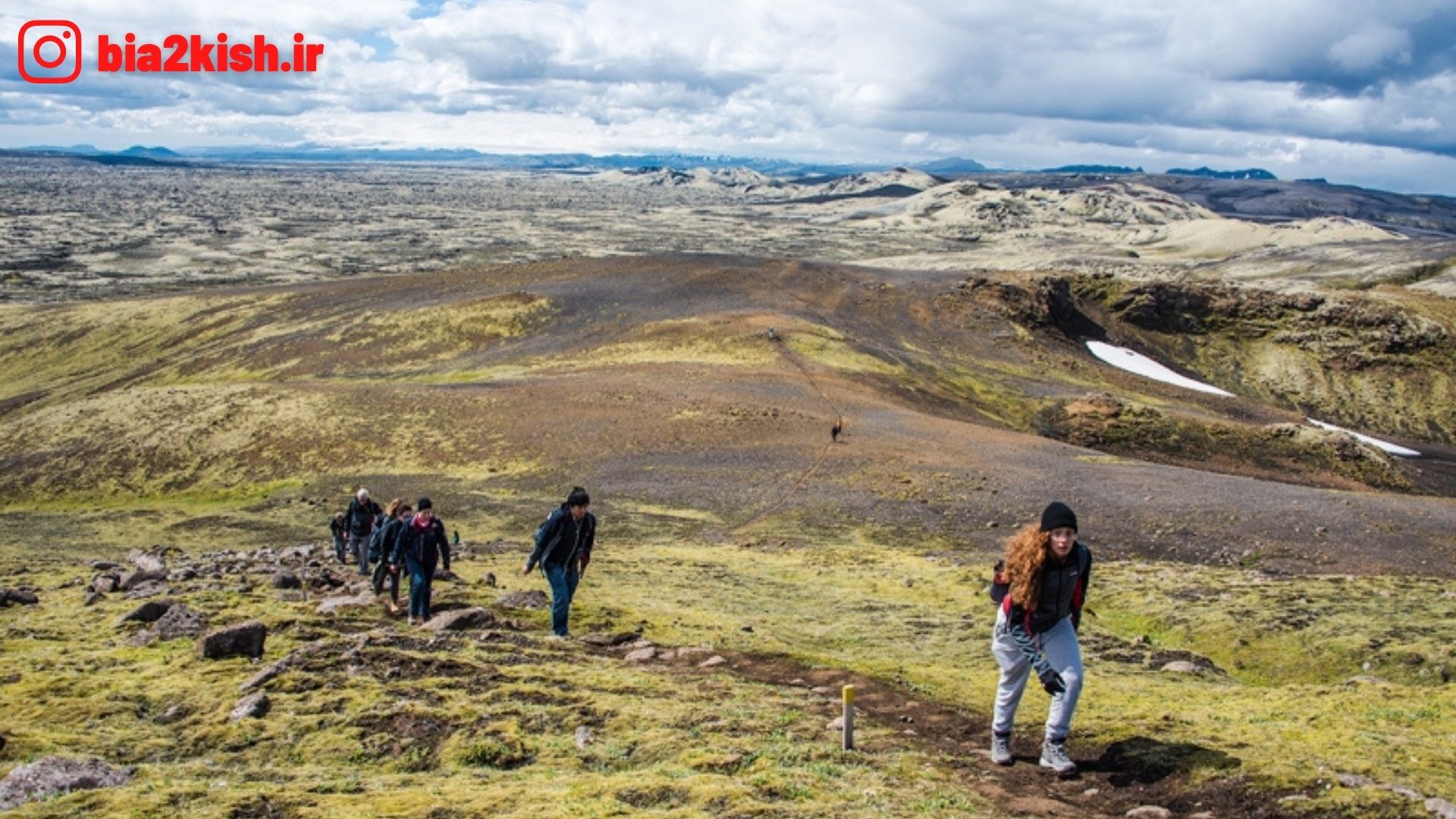
کوهستان لکی یکی از مکان های دیدنی کشور ایسلند می باشد.
که در این بخش از راهنمای گردشگری قصد داریم،
این کوهستان دیدنی را به شما خوانندگان گرامی معرفی کنم.
معرفی کوهستان لکی (Laki)
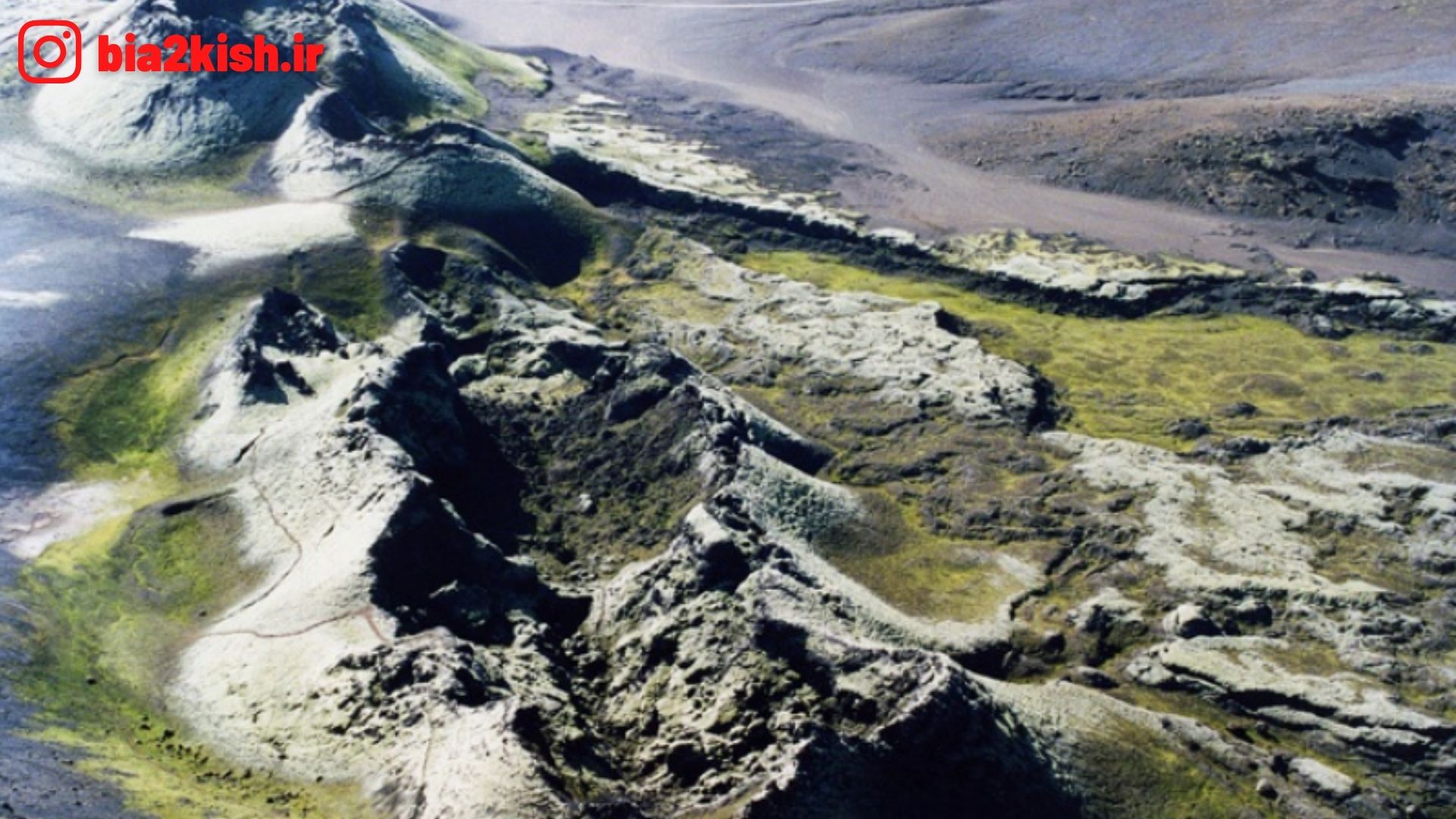
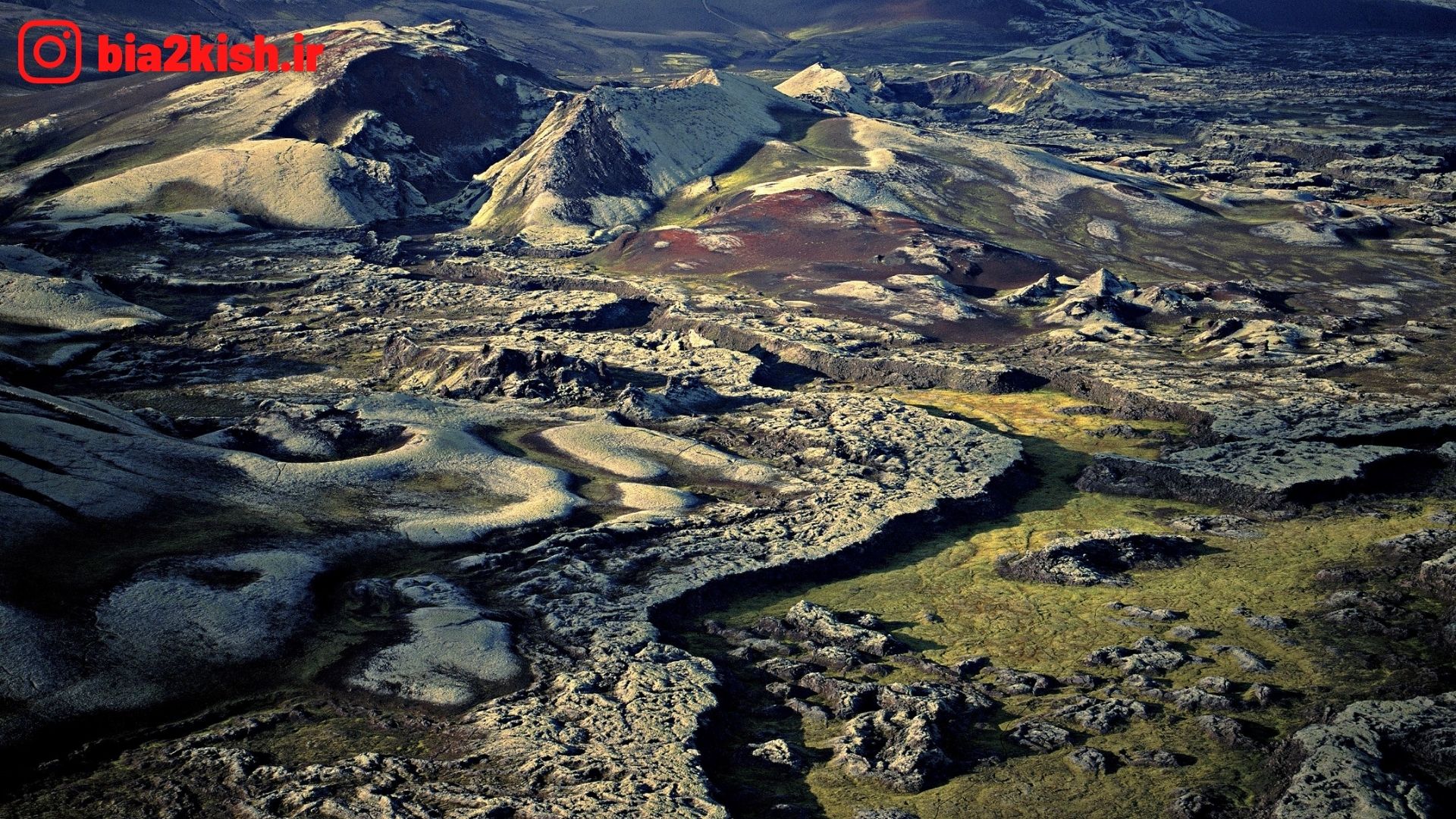
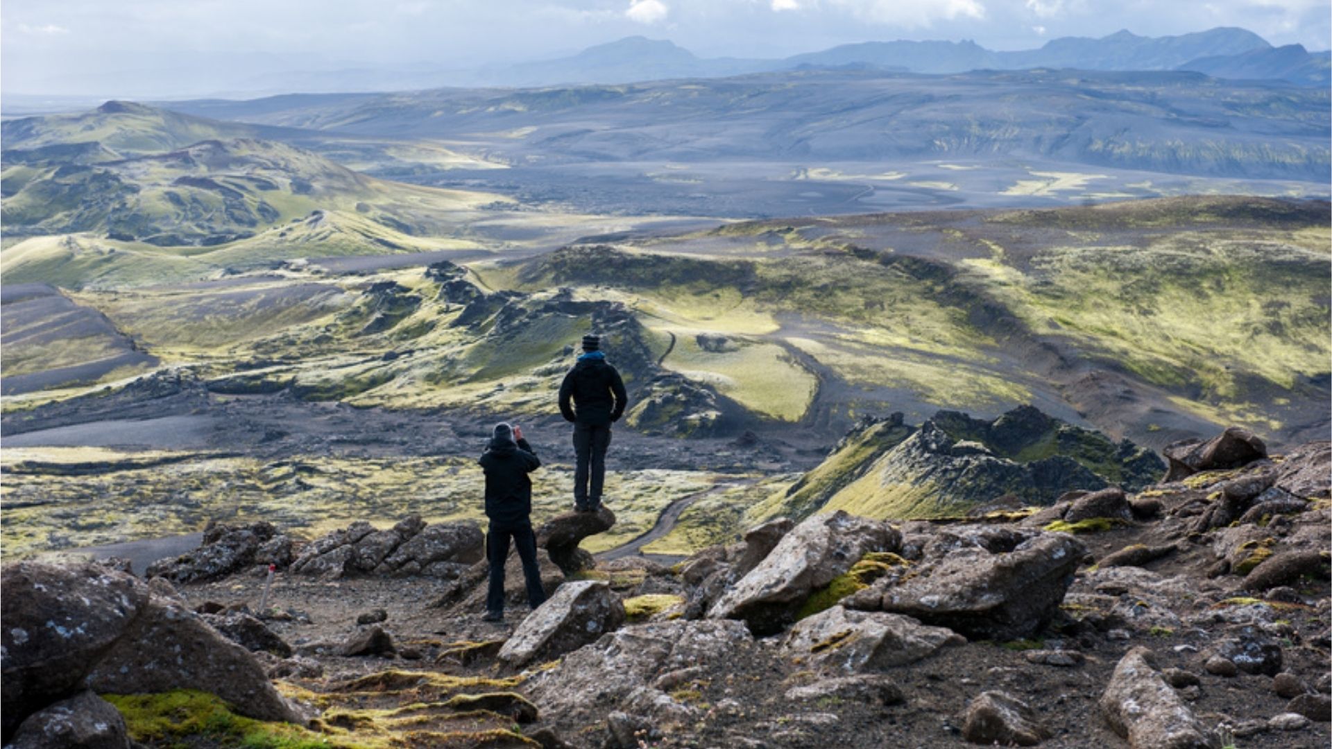
لکی یا لاکاگی یک شکاف آتشفشانی است که دز جنوب ایسلند قرار دارد.
شدت فوران این آتشفشان ۶ VEI محاسبه شدهاست.
این مجموعه ناهمواریها شامل ۱۳۰ دهانه آتشفشانی است
که ارتفاع آنها متغیر است و تا ۱٬۷۲۵ متر میرسد.
دانستنی های کوهستان
ارتفاع کوهستان » Varies: canyon to ۱٬۷۲۵ متر (۵٬۶۵۹ فوت)
مختصات کوهستان » ۶۴°۰۳′۵۳″ شمالی ۱۸°۱۳′۳۴″ غربی
زمینشناسی کوهستان
نوع کوهستان » Fissure vent
آخرین فوران کوهستان » ۱۷۸۴
Laki
Laki or Lakagígar (Craters of Laki) is a volcanic fissure in the western part of Vatnajökull National Park, Iceland, not far from the volcanic fissure of Eldgjá and the small village of Kirkjubæjarklaustur
The fissure is properly referred to as Lakagígar, while Laki is a mountain that the fissure bisects. Lakagígar is part of a volcanic system centered on the volcano Grímsvötn and including the volcano Thordarhyrna
It lies between the glaciers of Mýrdalsjökull and Vatnajökull, in an area of fissures that run in a southwest to northeast direction
The system erupted violently over an eight-month period between June 1783 and February 1784 from the Laki fissure and the adjoining volcano Grímsvötn, pouring out an estimated 42 billion tons or 14 km3 (3.4 cu mi) of basalt lava and clouds of poisonous hydrofluoric acid and sulfur dioxide compounds that contaminated the soil, leading to the death of over 50% of Iceland’s livestock population, and the destruction of the vast majority of all crops. This led to a famine which then killed approximately 25% of the island’s human population
The lava flows also destroyed 20 villages
The Laki eruption and its aftermath caused a drop in global temperatures, as 120 million tons of sulfur dioxide was spewed into the Northern Hemisphere
This caused crop failures in Europe and may have caused droughts in North Africa and India