 راهنمای گردشگری راهنمای گردشگری و سفر
دریاچه میواتن یکی از زیباترین و معروف ترین دریاچه کشور ایسلند می باشد .
که در این بخش از دریاچه گردی قصد داریم ،
این دریاچه زیبا را به شما توریست های گرامی معرفی کنیم.
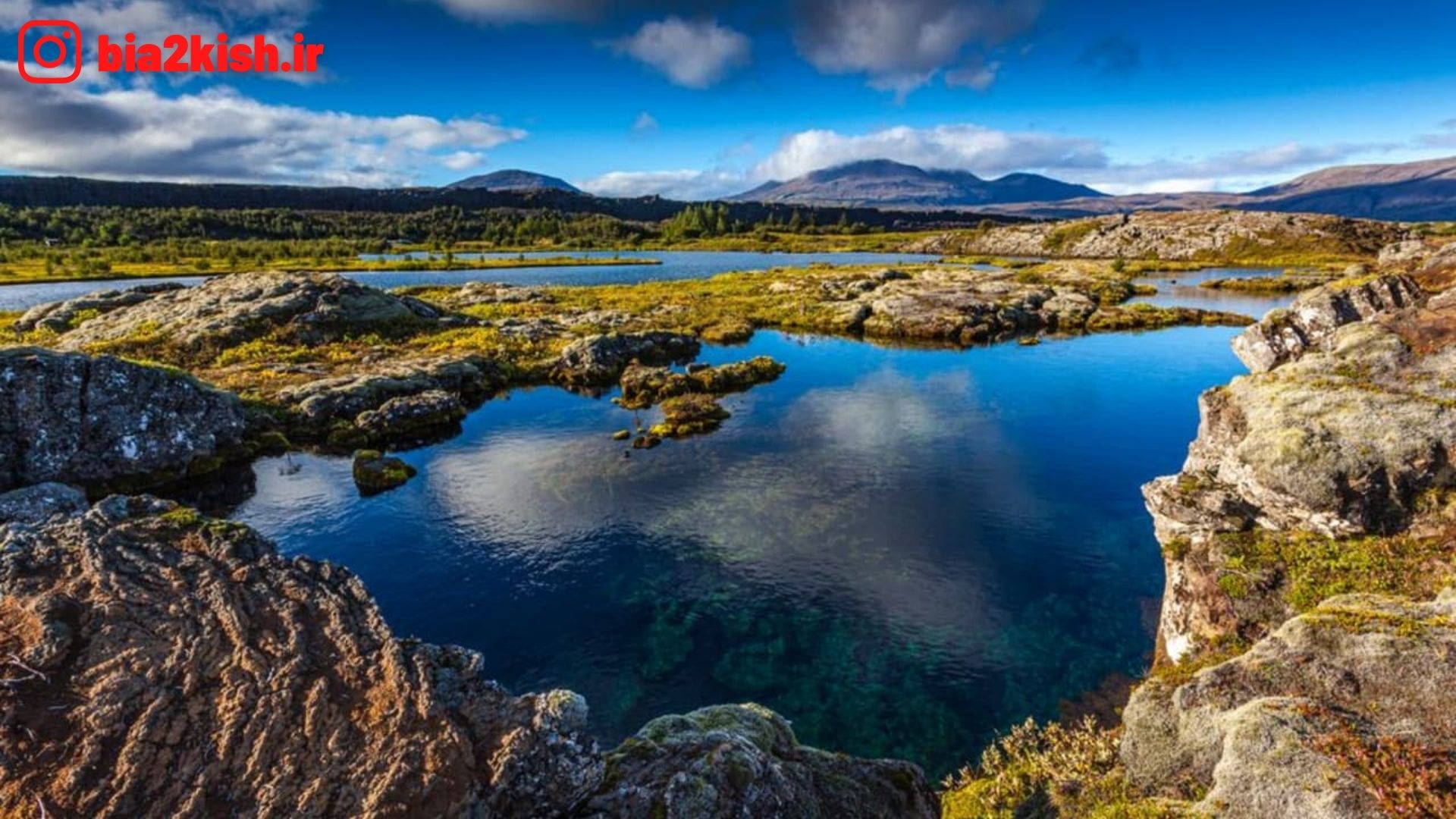
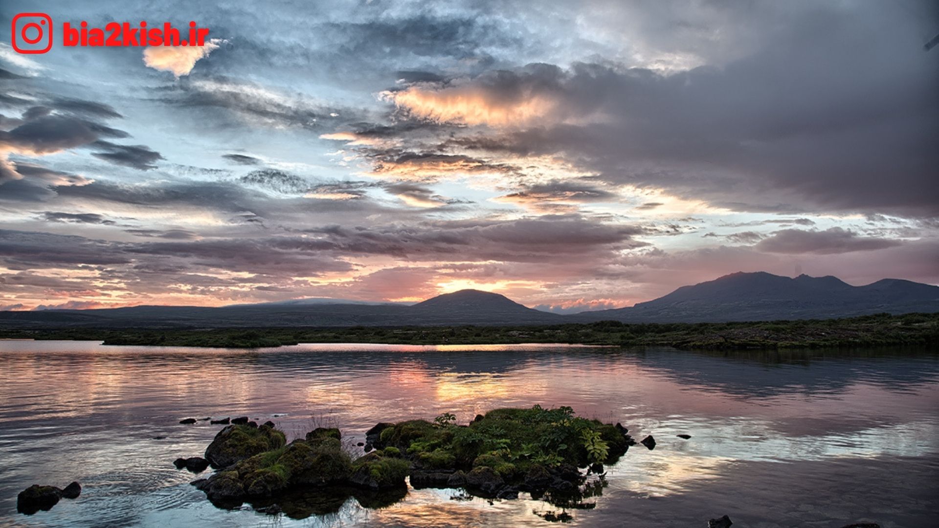
معرفی دریاچه تینگوالاواتن (Þingvallavatn)
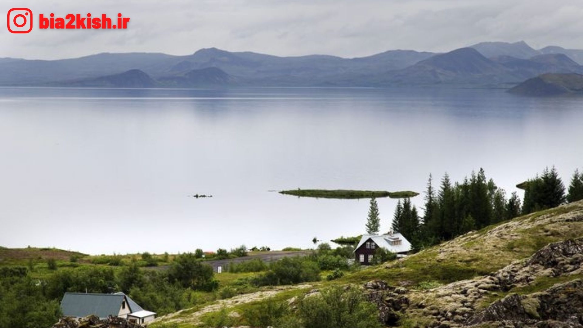
دریاچه تینگوالاواتن یک دریاچه در ایسلند است که در دینگوتلیر واقع شدهاست.
دانستنی های دریاچه
موقعیت دریاچه » دینگوتلیر National Park
مختصات دریاچه » ۶۴°۱۱′ شمالی ۲۱°۰۹′ غربیمختصات: ۶۴°۱۱′ شمالی ۲۱°۰۹′ غربی
برونشارشهای کلان Sog
کشورهای حوضه Iceland
مساحتِ دریاچه » رو ۸۴ کیلومتر مربع (۳۲ مایل مربع)
میانگین عمق دریاچه » ۳۴ متر (۱۱۲ فوت)
بیشترین عمق دریاچه» ۱۱۴ متر (۳۷۴ فوت)
حجم آب ۲٫۸۵۶ دریاچه » کیلومتر مکعب (۰٫۶۸۵ مایل مکعب)
Þingvallavatn
Þingvallavatn, anglicised as Thingvallavatn, is a rift valley lake in southwestern Iceland. With a surface of 84 km² it is the largest natural lake in Iceland. Its greatest depth is 114 m. At the northern shore of the lake, at Þingvellir (after which the lake is named), the Alþingi, the national parliament, was founded in the year 930, and held its sessions there until 1799 and still as of today the name Alþingi Íslendinga is carried by the parliament of Iceland.
The lake lies partially within Þingvellir National Park. The volcanic origin of the islands in the lake is clearly visible. The cracks and faults around it, of which the Almannagjá ravine is the largest, is where the Eurasian and North American tectonic plates meet. Silfra fissure is a popular scuba and snorkeling site. The only outflow from lake Þingvallavatn is the river Sog.
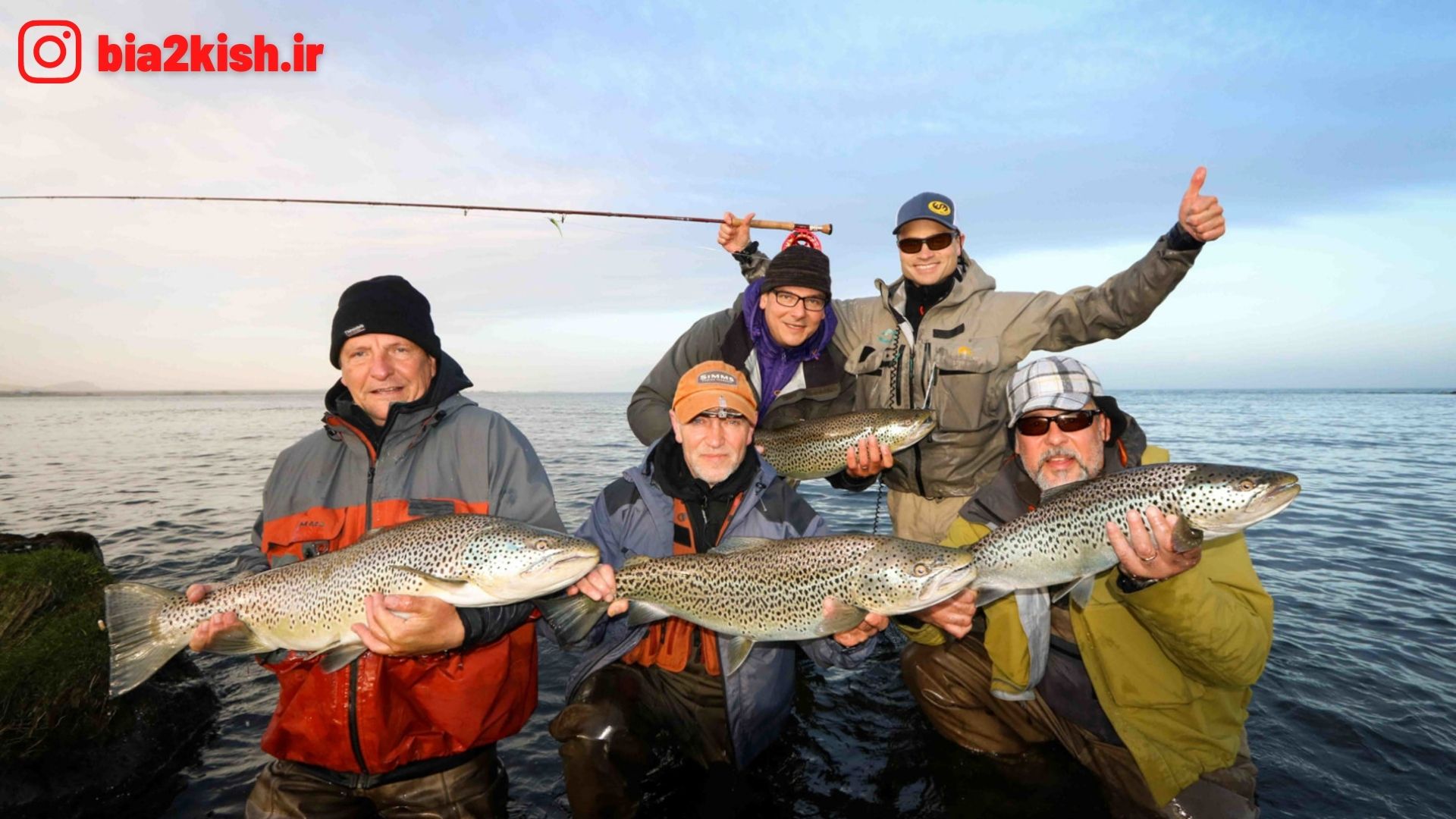
One of the noted features of the lake is the presence of four morphs of the Arctic charr.